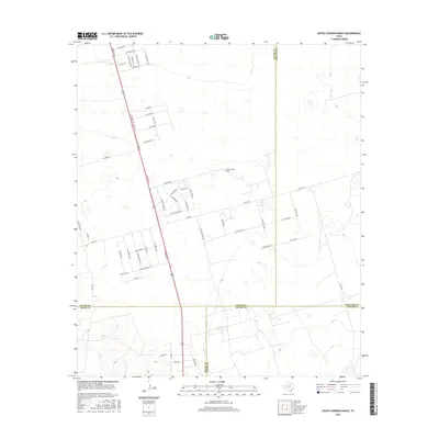
2016 Map of South Cowden Ranch
USGS Topo · Published 2016About this map
South Cowden Ranch sits within a high-plains landscape where the borders of Ector, Midland, Crane, and Upton counties meet. This 2016 survey captures a transitional period of rural development in West Texas, marked by a systematic grid of residential streets such as E Schirra Dr and E Borman St branching off the primary north-south artery of S Grant Ave. While the terrain remains relatively open, the mapping of numerous local roads and small settlements like Michelle indicates the expanding footprint of the Permian Basin's energy-driven economy.
Find a feature on this map
57 named features on this map. Tap any name to fly to it.
Don’t see what you’re looking for? This feature index may not catch every label — zoom into the map to look around manually.
Map Details
Editions of this 2016 South Cowden Ranch Map
This is the sole edition of this map. No revisions or reprints were ever made.
Other maps of this area

1954 · Pecos
USGS Topo · 1:250,000

1957 · Pecos
USGS Topo · 1:250,000

1964 · Odessa SW
USGS Topo · 1:24,000

1964 · Odessa SE
USGS Topo · 1:24,000

1964 · Doodle Bug Well
USGS Topo · 1:24,000

1964 · Parks
USGS Topo · 1:24,000

1964 · Clark Brothers Ranch
USGS Topo · 1:24,000

1964 · Perkins Lake
USGS Topo · 1:24,000

1965 · South Cowden Ranch
USGS Topo · 1:24,000

1968 · Benge Corner NW
USGS Topo · 1:24,000