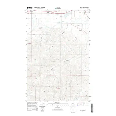
2014 Map of South Elma
USGS Topo · Published 2014About this map
The Chehalis River winds through this landscape, defining the transition between the developed river valley and the high, timbered ridges of the southern Olympic Peninsula foothills. In the early 21st century, this corridor remains anchored by timber-related settlements like Saginaw and Fuller, alongside the more substantial hub of South Elma. The map highlights a specialized transportation network, where local aviation hubs such as the Elma Municipal Airport and private strips like My Airport serve the valley floor. To the south, the terrain rises sharply toward Minot Peak, where a complex network of forest roads including G Line RD and Delezenne RD provide access to the steep drainage basins of Workman Cr and Delezene Cr. This area illustrates the persistence of small-scale aviation and industrial forestry routes alongside established agricultural pockets like Hunters Prairie.
Find a feature on this map
101 named features on this map. Tap any name to fly to it.
Don’t see what you’re looking for? This feature index may not catch every label — zoom into the map to look around manually.
Map Details
Editions of this 2014 South Elma Map
This is the sole edition of this map. No revisions or reprints were ever made.
Other maps of this area

1940 · Montesano
USGS Topo · 1:62,500

1941 · Mobray
USGS Topo · 1:62,500

1941 · Ford
USGS Topo · 1:62,500

1943 · Nahwatzel Lake
USGS Topo · 1:62,500

1943 · Mobray
USGS Topo · 1:62,500

1953 · Hoquiam
USGS Topo · 1:250,000

1953 · Malone
USGS Topo · 1:62,500

1953 · Elma
USGS Topo · 1:62,500

1955 · Montesano
USGS Topo · 1:62,500

1955 · Wynoochee Valley
USGS Topo · 1:62,500