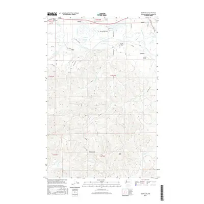
2017 Map of South Elma
USGS Topo · Published 2017About this map
The Chehalis River and its complex network of tributaries, including Workman Cr and Delezene Cr, dominate the geography of this Grays Harbor County landscape. The river valley facilitates a cluster of small settlements and transportation hubs, from the community of Satsop near the Satsop River Bridge to the small-scale aviation sites at Elma Municipal Airport and D and B Airpark. The land use transitions from the lowland floodplains and lakes like Huttula Lake and Vance Cr Lake to the more elevated terrain of the southern hills.
Find a feature on this map
51 named features on this map. Tap any name to fly to it.
Don’t see what you’re looking for? This feature index may not catch every label — zoom into the map to look around manually.
Map Details
Editions of this 2017 South Elma Map
This is the sole edition of this map. No revisions or reprints were ever made.
Other maps of this area

1940 · Montesano
USGS Topo · 1:62,500

1941 · Mobray
USGS Topo · 1:62,500

1941 · Ford
USGS Topo · 1:62,500

1943 · Nahwatzel Lake
USGS Topo · 1:62,500

1943 · Mobray
USGS Topo · 1:62,500

1953 · Hoquiam
USGS Topo · 1:250,000

1953 · Malone
USGS Topo · 1:62,500

1953 · Elma
USGS Topo · 1:62,500

1955 · Montesano
USGS Topo · 1:62,500

1955 · Wynoochee Valley
USGS Topo · 1:62,500