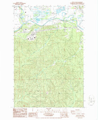
1986 Map of South Elma
USGS Topo · Published 1986About this map
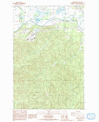
The Chehalis River and Satsop River dominate the northern landscape of this 1986 survey, defining a fertile valley where the settlements of Satsop, South Elma, and Hunters Prairie are concentrated. Outside these valley floor communities, the terrain rises sharply into the timbered ridges of the southern Grays Harbor highlands. This upland area is marked by a network of drainage systems including Workman Creek and Delezene Creek, which flow north toward the river basin.
Find a feature on this map
36 named features on this map. Tap any name to fly to it.
Don’t see what you’re looking for? This feature index may not catch every label — zoom into the map to look around manually.
Map Details
Editions of this 1986 South Elma Map
2 editions found
Other maps of this area

1940 · Montesano
USGS Topo · 1:62,500

1941 · Mobray
USGS Topo · 1:62,500

1941 · Ford
USGS Topo · 1:62,500

1943 · Nahwatzel Lake
USGS Topo · 1:62,500

1943 · Mobray
USGS Topo · 1:62,500

1953 · Hoquiam
USGS Topo · 1:250,000

1953 · Malone
USGS Topo · 1:62,500

1953 · Elma
USGS Topo · 1:62,500

1955 · Montesano
USGS Topo · 1:62,500

1955 · Wynoochee Valley
USGS Topo · 1:62,500