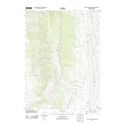
2012 Map of South Fork Mountain
USGS Topo · Published 2012About this map
Stockton and the intricate delta region of San Joaquin County are characterized by an extensive network of waterways and rail lines. The San Joaquin River, Old River, and Middle River carve through the terrain, creating distinct landmasses like Roberts Island, Victoria Island, and the Sargent Barnard Tract. Vital navigation and irrigation infrastructure are prominent, evidenced by the Victoria Canal, Grant Line Canal, and the Fabian and Bell Canal. Transportation is defined by the S.P.R.R. and its West Side Branch and Stockton Branch, which connect rural hubs like Lathrop, Banta, Bethany, and French Camp. Along the western edge, Granny Peak rises above the low-lying delta sloughs, including Whiskey Slough and Trapper Slough.
Find a feature on this map
40 named features on this map. Tap any name to fly to it.
Don’t see what you’re looking for? This feature index may not catch every label — zoom into the map to look around manually.
Map Details
Editions of this 2012 South Fork Mountain Map
This is the sole edition of this map. No revisions or reprints were ever made.
Other maps of this area

1936 · Cokeville
USGS Topo · 1:96,000

1942 · Cokeville
USGS Topo · 1:125,000

1945 · Fort Hill
USGS Topo · 1:62,500

1947 · Fort Hill
USGS Topo · 1:62,500

1954 · Ogden
USGS Topo · 1:250,000

1954 · Kemmerer
USGS Topo · 1:62,500

1955 · Preston
USGS Topo · 1:250,000

1958 · Ogden
USGS Topo · 1:250,000

1958 · Preston
USGS Topo · 1:250,000

1960 · Ogden
USGS Topo · 1:250,000