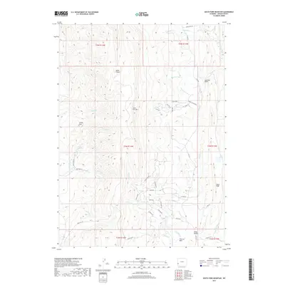
2017 Map of South Fork Mountain
USGS Topo · Published 2017About this map
South Fork Mtn and Oyster Ridge define the vertical geography of this high-elevation landscape in Lincoln County. The area is marked by a complex drainage system feeding into water bodies like Philip Reservoir and the Mud Lakes, with names like Boney Canyon and Mammoth Hollow hinting at the local character of the terrain. The presence of the Emigrant Trl in the southeast corner near Pomeroy Basin provides a connection to historic westward movement, while modern infrastructure is represented by a grid of specialized access routes including Sheep Dip Dr and Dinosaur Dr. The map illustrates a transitional zone where high peaks like Granny Peak overlook a network of seasonal creeks and established ranches such as Spring Canyon Ranch.
Find a feature on this map
56 named features on this map. Tap any name to fly to it.
Don’t see what you’re looking for? This feature index may not catch every label — zoom into the map to look around manually.
Map Details
Editions of this 2017 South Fork Mountain Map
This is the sole edition of this map. No revisions or reprints were ever made.
Other maps of this area

1936 · Cokeville
USGS Topo · 1:96,000

1942 · Cokeville
USGS Topo · 1:125,000

1945 · Fort Hill
USGS Topo · 1:62,500

1947 · Fort Hill
USGS Topo · 1:62,500

1954 · Ogden
USGS Topo · 1:250,000

1954 · Kemmerer
USGS Topo · 1:62,500

1955 · Preston
USGS Topo · 1:250,000

1958 · Ogden
USGS Topo · 1:250,000

1958 · Preston
USGS Topo · 1:250,000

1960 · Ogden
USGS Topo · 1:250,000