2017 Map of South Fox Island OE W
USGS Topo · Published 2017About this map
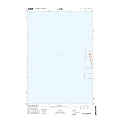
Lake Michigan dominates this chart, where the westernmost fringe of South Fox Island breaks the surface of the freshwater sea. This 2017 topographic survey highlights the stark boundary between the deep waters and the thin, wooded shoreline of the island. While much of the quadrangle is submerged, the land that does appear shows the specific topography of the western dunes and coastline. The map records the public land survey system divisions, including t35n r13w and t34n r13w, which help orient researchers to the exact township and range coordinates of this isolated Leelanau County landform.
Find a feature on this map
7 named features on this map. Tap any name to fly to it.
Don’t see what you’re looking for? This feature index may not catch every label — zoom into the map to look around manually.
Map Details
Editions of this 2017 South Fox Island OE W Map
This is the sole edition of this map. No revisions or reprints were ever made.
Other maps of this area

1954 · Escanaba
USGS Topo · 1:250,000

1955 · Gull Island
USGS Topo · 1:62,500

1955 · Cheboygan
USGS Topo · 1:250,000

1956 · South Fox Island
USGS Topo · 1:62,500

1957 · Escanaba
USGS Topo · 1:250,000

1958 · Escanaba
USGS Topo · 1:250,000

1958 · Cheboygan
USGS Topo · 1:250,000

1983 · Manistique
USGS Topo · 1:100,000

1984 · Washington Island
USGS Topo · 1:100,000

1984 · Beaver Island
USGS Topo · 1:100,000