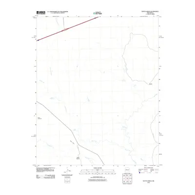
2010 Map of South Garcia
USGS Topo · Published 2010About this map
The settlement of South Garcia sits at the southern edge of this 2010 survey, located near the intersection of Indian Service Route 548 and the seasonal waters of Arroyo Garcia. This landscape is defined by the convergence of significant watercourses and high desert landforms, where the Rio San Jose flows eastward to join the Rio Puerco. These drainage patterns are punctuated by traditional water sources like Dipping Vat Spring and El Ojo Escondido, indicating a land managed for ranching and transit long before modern infrastructure.
Find a feature on this map
13 named features on this map. Tap any name to fly to it.
Don’t see what you’re looking for? This feature index may not catch every label — zoom into the map to look around manually.
Map Details
Editions of this 2010 South Garcia Map
This is the sole edition of this map. No revisions or reprints were ever made.
Other maps of this area

1883 · Mt. Taylor
USGS Topo · 1:250,000

1886 · Mt. Taylor
USGS Topo · 1:250,000

1888 · Bernalillo
USGS Topo · 1:125,000

1889 · Albuquerque
USGS Topo · 1:125,000

1892 · Mt. Taylor
USGS Topo · 1:250,000

1893 · Albuquerque
USGS Topo · 1:125,000

1899 · Mt. Taylor
USGS Topo · 1:250,000

1917 · Cerro Verde
USGS Topo · 1:125,000

1952 · Rio Puerco
USGS Topo · 1:24,000

1952 · Dalies NW
USGS Topo · 1:24,000