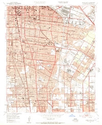
1949 Map of South Gate
USGS Topo · Published 1957About this map
The industrial corridor of Southeast Los Angeles is captured here just after the war, showing the intensive grid of residential and commercial expansion between the Los Angeles River and the Rio Hondo. This post-war era shows a landscape defined by transit and industry, where the Pacific Electric and Southern Pacific rail lines intersect with major thoroughfares like Firestone Blvd and Imperial Highway. Aviation is central to the local geography, with Compton Airport, Vail Airport, and the Beacon Industrial Airport all active within this relatively small area.
Find a feature on this map
147 named features on this map. Tap any name to fly to it.
Don’t see what you’re looking for? This feature index may not catch every label — zoom into the map to look around manually.
Map Details
Editions of this 1949 South Gate Map
2 editions found
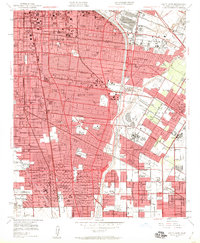
Other maps of this area

1894 · Los Angeles
USGS Topo · 1:62,500

1896 · Pasadena
USGS Topo · 1:62,500

1896 · Redondo
USGS Topo · 1:62,500

1896 · Santa Monica
USGS Topo · 1:62,500

1896 · Downey
USGS Topo · 1:62,500

1898 · Santa Monica
USGS Topo · 1:62,500

1899 · Downey
USGS Topo · 1:62,500

1900 · Pasadena
USGS Topo · 1:62,500

1900 · Los Angeles
USGS Topo · 1:62,500

1901 · Southern California Sheet No. 1
USGS Topo · 1:250,000