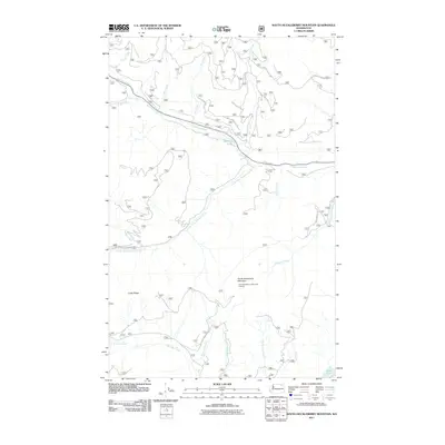
2011 Map of South Huckleberry Mountain
USGS Topo · Published 2011About this map
South Huckleberry Mountain Lookout stands as a primary landmark in this high-elevation corner of Ferry County, overlooking a landscape defined by sharp ridges and a dense network of mountain drainages. The area is characterized by the confluence of numerous watercourses, most notably Sherman Creek and its many tributaries like Milk Creek and Hart Creek. The presence of Sherman Creek Falls and Sherman Lake near the northern reaches suggests a rugged geography where water and elevation dictate the terrain. Southward, the topography transitions toward Cedar Ridge and the Lake Ellen vicinity. The map documents a complex system of Forest Service access, including S Fork Sherman Creek Rd and various development roads, which trace the steep contours and provide the only infrastructure through these timbered highlands.
Find a feature on this map
26 named features on this map. Tap any name to fly to it.
Don’t see what you’re looking for? This feature index may not catch every label — zoom into the map to look around manually.
Map Details
Editions of this 2011 South Huckleberry Mountain Map
This is the sole edition of this map. No revisions or reprints were ever made.
Other maps of this area

1936 · Marcus
USGS Topo · 1:96,000

1942 · Marcus
USGS Topo · 1:125,000

1948 · Sherman Peak
USGS Topo · 1:62,500

1948 · Kettle Falls
USGS Topo · 1:62,500

1950 · Inchelium
USGS Topo · 1:62,500

1951 · Sherman Peak
USGS Topo · 1:62,500

1951 · Kettle Falls
USGS Topo · 1:62,500

1952 · Twin Lakes
USGS Topo · 1:62,500

1954 · Okanogan
USGS Topo · 1:250,000

1958 · Okanogan
USGS Topo · 1:250,000