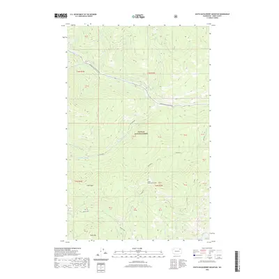
2020 Map of South Huckleberry Mountain
USGS Topo · Published 2020About this map
Colville National Forest dominates this section of Ferry County, where the northern landscape is defined by the winding path of the Sherman Pass Scenic Byway. This modern survey reveals a drainage system characterized by numerous high-altitude tributaries, including the northern Sherman Creek and its distinctive Sherman Creek Falls. Further south, the terrain rises toward several prominent peaks such as South Huckleberry Mountain and Dollar Mountain. The map provides a detailed view of the regional watershed, tracing the southern flow of Barnaby Creek and Cottonwood Creek. The presence of Doukhobor Creek hints at the cultural history of the Pacific Northwest, as the name likely references the Doukhobor people who settled in western Canada and parts of Washington state. Together with Cedar Ridge and Bangs Mountain, these landmarks form a portrait of a mountain environment managed for conservation and recreation.
Find a feature on this map
28 named features on this map. Tap any name to fly to it.
Don’t see what you’re looking for? This feature index may not catch every label — zoom into the map to look around manually.
Map Details
Editions of this 2020 South Huckleberry Mountain Map
This is the sole edition of this map. No revisions or reprints were ever made.
Other maps of this area

1936 · Marcus
USGS Topo · 1:96,000

1942 · Marcus
USGS Topo · 1:125,000

1948 · Sherman Peak
USGS Topo · 1:62,500

1948 · Kettle Falls
USGS Topo · 1:62,500

1950 · Inchelium
USGS Topo · 1:62,500

1951 · Sherman Peak
USGS Topo · 1:62,500

1951 · Kettle Falls
USGS Topo · 1:62,500

1952 · Twin Lakes
USGS Topo · 1:62,500

1954 · Okanogan
USGS Topo · 1:250,000

1958 · Okanogan
USGS Topo · 1:250,000