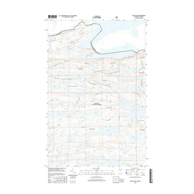
2016 Map of South Lake
USGS Topo · Published 2016About this map
Superior National Forest dominates this northern borderlands landscape, where the international boundary between Minnesota and Canada cuts directly through a chain of glacial waters. The map reveals a complex network of historical transit routes, from the aquatic corridor of Gunflint Lake and S Lake to the terrestrial Border Route and Banadad Trail. This area serves as a critical junction for wilderness travel, connecting larger bodies like N Lake with smaller, secluded basins such as Susana Lake and Topper Lake.
Find a feature on this map
75 named features on this map. Tap any name to fly to it.
Don’t see what you’re looking for? This feature index may not catch every label — zoom into the map to look around manually.
Map Details
Editions of this 2016 South Lake Map
This is the sole edition of this map. No revisions or reprints were ever made.
Other maps of this area

1919 · Brule Lake
USGS Topo · 1:62,500

1954 · Two Harbors
USGS Topo · 1:250,000

1957 · Two Harbors
USGS Topo · 1:250,000

1957 · Quetico
USGS Topo · 1:250,000

1958 · Two Harbors
USGS Topo · 1:250,000

1959 · Lima Mountain
USGS Topo · 1:24,000

1959 · Hungry Jack Lake
USGS Topo · 1:24,000
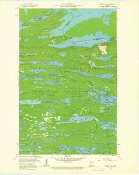
1960 · South Lake
USGS Topo · 1:24,000
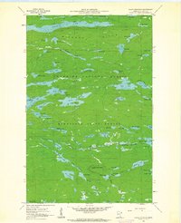
1960 · Eagle Mountain
USGS Topo · 1:24,000

1960 · Brule Lake
USGS Topo · 1:24,000