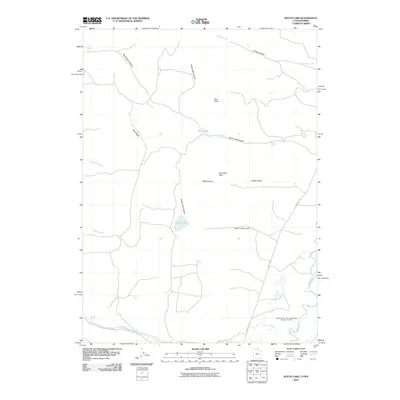
2010 Map of South Lake
USGS Topo · Published 2010About this map
San Francisco Chemical Company Number Four Mine stands as a prominent industrial landmark in this corner of Lincoln County, highlighting the region's extraction history along the eastern edge of the quadrangle. The landscape is defined by the winding course of the Bear River and a series of high-elevation features like Lake Ridge and the Boundary Hills. This 2010 survey illustrates a high-desert environment where water sources are vital, documented through the presence of Mud Spring, Cold Spring, and the namesake South Lake. Notable topographic depressions and corridors such as Goblin Gulch and Christy Canyon cut through the terrain, while County Rd 207 provides the primary transit route through the drainage basins of Rabbit Creek and Sheeppen Creek.
Find a feature on this map
20 named features on this map. Tap any name to fly to it.
Don’t see what you’re looking for? This feature index may not catch every label — zoom into the map to look around manually.
Map Details
Editions of this 2010 South Lake Map
This is the sole edition of this map. No revisions or reprints were ever made.
Other maps of this area

1909 · Montpelier
USGS Topo · 1:125,000

1911 · Montpelier
USGS Topo · 1:125,000

1912 · Randolph
USGS Topo · 1:125,000

1936 · Cokeville
USGS Topo · 1:96,000

1942 · Cokeville
USGS Topo · 1:125,000

1954 · Sage
USGS Topo · 1:62,500

1954 · Ogden
USGS Topo · 1:250,000

1955 · Preston
USGS Topo · 1:250,000

1958 · Ogden
USGS Topo · 1:250,000

1958 · Preston
USGS Topo · 1:250,000