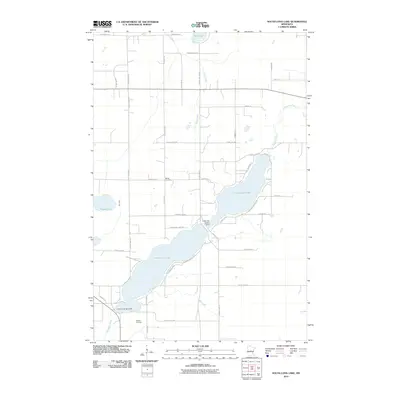
2010 Map of South Long Lake
USGS Topo · Published 2010About this map
Long Lake Upper and Lower Long Lake form the central hydrological axis of this Crow Wing County landscape. The two bodies of water are regulated by the Long Lake Upper Dam and the Lower Long Lake Dam, managing the flow of the Nokasippi River as it winds through the region. The map reflects a rural residential character, with numerous local roads like Paradise Shores Rd and Mogensen Shores Rd providing access to the waterfront.
Find a feature on this map
47 named features on this map. Tap any name to fly to it.
Don’t see what you’re looking for? This feature index may not catch every label — zoom into the map to look around manually.
Map Details
Editions of this 2010 South Long Lake Map
This is the sole edition of this map. No revisions or reprints were ever made.
Other maps of this area

1912 · Deerwood
USGS Topo · 1:62,500

1914 · Deerwood
USGS Topo · 1:62,500

1915 · Brainerd
USGS Topo · 1:62,500

1918 · Brainerd
USGS Topo · 1:62,500

1948 · Lastrup
USGS Topo · 1:62,500

1950 · Lastrup
USGS Topo · 1:62,500

1953 · Duluth
USGS Topo · 1:250,000

1953 · Brainerd
USGS Topo · 1:250,000

1957 · Brainerd
USGS Topo · 1:250,000

1958 · Brainerd
USGS Topo · 1:250,000