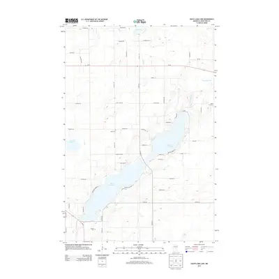
2013 Map of South Long Lake
USGS Topo · Published 2013About this map
South Long Lake and Upper S Long Lake dominate this central Crow Wing County landscape, illustrating a classic Minnesota lakefront environment defined by glaciated topography. The Nokasippi River winds through the eastern portion of the quadrangle, serving as a primary drainage for the surrounding wetlands and smaller basins like Mud Lake. Settlement patterns are concentrated along the shoreline roads, where residential tracts like Paradise Shores Rd and Leisure Ln branch off from major connectors such as Co Hwy-23. For genealogists and local researchers, the map identifies three distinct burial sites: Hillside Cem, Bethel Cem, and Maple Grove Cem, each situated near the township roads that cross the region. The map also captures the local transportation network at the start of the 2010s, showing the intersection of rural thoroughfares like MN-18 and Five Mile Rd amidst the varied timber and creek-fed lowlands of Hay Cr.
Find a feature on this map
54 named features on this map. Tap any name to fly to it.
Don’t see what you’re looking for? This feature index may not catch every label — zoom into the map to look around manually.
Map Details
Editions of this 2013 South Long Lake Map
This is the sole edition of this map. No revisions or reprints were ever made.
Other maps of this area

1912 · Deerwood
USGS Topo · 1:62,500

1914 · Deerwood
USGS Topo · 1:62,500

1915 · Brainerd
USGS Topo · 1:62,500

1918 · Brainerd
USGS Topo · 1:62,500

1948 · Lastrup
USGS Topo · 1:62,500

1950 · Lastrup
USGS Topo · 1:62,500

1953 · Duluth
USGS Topo · 1:250,000

1953 · Brainerd
USGS Topo · 1:250,000

1957 · Brainerd
USGS Topo · 1:250,000

1958 · Brainerd
USGS Topo · 1:250,000