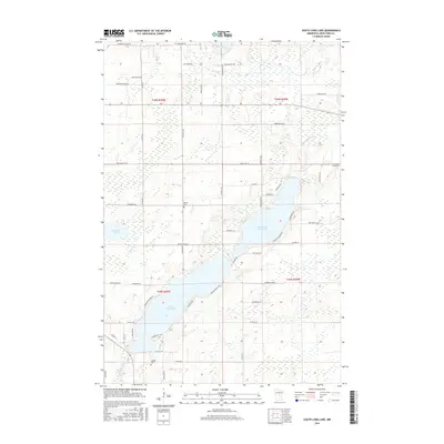
2016 Map of South Long Lake
USGS Topo · Published 2016About this map
Upper South Long Lake and Lower Long Lake dominate this Crow Wing County landscape, joined by a narrow passage that defines the local geography. The surrounding terrain is characterized by a dense network of county and residential roads that trace the shorelines and section lines of the Public Land Survey System. These routes, such as Paradise Shores Rd and Graff Park Rd, indicate a transition toward recreational and residential development around the water bodies.
Find a feature on this map
59 named features on this map. Tap any name to fly to it.
Don’t see what you’re looking for? This feature index may not catch every label — zoom into the map to look around manually.
Map Details
Editions of this 2016 South Long Lake Map
This is the sole edition of this map. No revisions or reprints were ever made.
Other maps of this area

1912 · Deerwood
USGS Topo · 1:62,500

1914 · Deerwood
USGS Topo · 1:62,500

1915 · Brainerd
USGS Topo · 1:62,500

1918 · Brainerd
USGS Topo · 1:62,500

1948 · Lastrup
USGS Topo · 1:62,500

1950 · Lastrup
USGS Topo · 1:62,500

1953 · Duluth
USGS Topo · 1:250,000

1953 · Brainerd
USGS Topo · 1:250,000

1957 · Brainerd
USGS Topo · 1:250,000

1958 · Brainerd
USGS Topo · 1:250,000