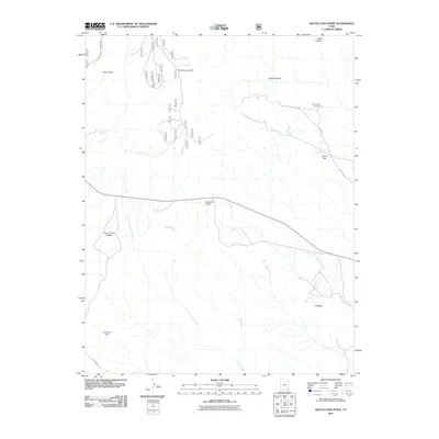
2011 Map of South Long Point
USGS Topo · Published 2011About this map
Salvation Knoll stands as a prominent landmark in this desert landscape, overlooking a network of drainage systems including Picket Fork and South Fork Fish Creek. The terrain is characterized by expansive elevated features such as Grand Gulch Plateau and South Long Point, which divide the various canyons and flats. Evidence of human presence and navigation is found at Baullies and along Long Spike Rd, while natural water sources like Pine Spring represent vital points in an otherwise arid environment.
Find a feature on this map
17 named features on this map. Tap any name to fly to it.
Don’t see what you’re looking for? This feature index may not catch every label — zoom into the map to look around manually.
Map Details
Editions of this 2011 South Long Point Map
This is the sole edition of this map. No revisions or reprints were ever made.
Other maps of this area

1886 · Abajo
USGS Topo · 1:250,000

1892 · Abajo
USGS Topo · 1:250,000

1893 · Abajo
USGS Topo · 1:250,000

1935 · Elk Ridge
USGS Topo · 1:96,000

1940 · Elk Ridge
USGS Topo · 1:125,000

1954 · Elk Ridge 4 NW
USGS Topo · 1:24,000
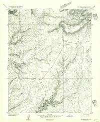
1954 · Elk Ridge 3 SW
USGS Topo · 1:24,000

1954 · Elk Ridge 3 NE
USGS Topo · 1:24,000
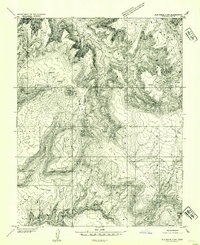
1954 · Elk Ridge 3 NW
USGS Topo · 1:24,000

1954 · Elk Ridge 3 SE
USGS Topo · 1:24,000