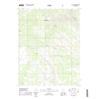
2020 Map of South Long Point
USGS Topo · Published 2020About this map
Grand Gulch Plateau and Cedar Mesa define this high-altitude landscape within the Manti-La Sal National Forest. The map documents a complex system of drainage and erosion, where Dry Wash and the North Fork Mule Canyon cut deep into the sandstone strata. Notable landmarks include the Salvation Knoll, a prominent high point historically used for orientation, and natural geological features such as Angel Arch and Cathedral Arch located within Arch Canyon. A network of backcountry routes, including the Short Point Trail, Texas Trail, and the Salvation Knoll Trail (475), reveals how these remote canyons and flats are accessed. Water sources like Posey Spring and Pine Spring provide rare focal points for life in a territory otherwise dominated by seasonal drainages such as Picket Fork and Fish Cr.
Find a feature on this map
28 named features on this map. Tap any name to fly to it.
Don’t see what you’re looking for? This feature index may not catch every label — zoom into the map to look around manually.
Map Details
Editions of this 2020 South Long Point Map
This is the sole edition of this map. No revisions or reprints were ever made.
Other maps of this area

1886 · Abajo
USGS Topo · 1:250,000

1892 · Abajo
USGS Topo · 1:250,000

1893 · Abajo
USGS Topo · 1:250,000

1935 · Elk Ridge
USGS Topo · 1:96,000

1940 · Elk Ridge
USGS Topo · 1:125,000

1954 · Elk Ridge 4 NW
USGS Topo · 1:24,000
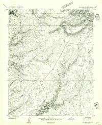
1954 · Elk Ridge 3 SW
USGS Topo · 1:24,000

1954 · Elk Ridge 3 NE
USGS Topo · 1:24,000
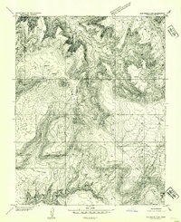
1954 · Elk Ridge 3 NW
USGS Topo · 1:24,000

1954 · Elk Ridge 3 SE
USGS Topo · 1:24,000