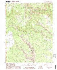
1985 Map of South Long Point
USGS Topo · Published 1985About this map
Salvation Knoll stands as a central landmark in this 1985 survey of the high desert terrain of San Juan County. This landscape is defined by the transition from the Grand Gulch Plateau and Cedar Mesa into the deeply incised drainage systems of the Manti-La Sal National Forest. The map documents a complex network of canyons, including the winding course of Fish Creek and its southern fork, alongside the dramatic topography of South Long Point and Lyman Pt.
Find a feature on this map
19 named features on this map. Tap any name to fly to it.
Don’t see what you’re looking for? This feature index may not catch every label — zoom into the map to look around manually.
Map Details
Editions of this 1985 South Long Point Map
This is the sole edition of this map. No revisions or reprints were ever made.
Other maps of this area

1886 · Abajo
USGS Topo · 1:250,000

1892 · Abajo
USGS Topo · 1:250,000

1893 · Abajo
USGS Topo · 1:250,000

1935 · Elk Ridge
USGS Topo · 1:96,000

1940 · Elk Ridge
USGS Topo · 1:125,000

1954 · Elk Ridge 4 NW
USGS Topo · 1:24,000
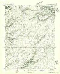
1954 · Elk Ridge 3 SW
USGS Topo · 1:24,000

1954 · Elk Ridge 3 NE
USGS Topo · 1:24,000
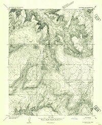
1954 · Elk Ridge 3 NW
USGS Topo · 1:24,000

1954 · Elk Ridge 3 SE
USGS Topo · 1:24,000