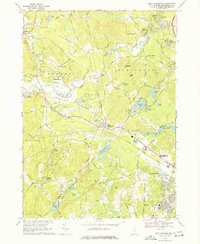
1968 Map of South Merrimack
USGS Topo · Published 1977About this map
The Souhegan River winds through this landscape, serving as a geographic anchor for the townships of Amherst, Merrimack, and Hollis. In the late 1960s, the area reflects a transition from traditional rural industry, seen at Haydens Millpond and several scattered gravel pits, to mid-century suburban expansion. The presence of Boire Field and the Webster Jr Col & New England Aero Inst near the Nashua border highlights the region's developing aviation and educational infrastructure.
Find a feature on this map
78 named features on this map. Tap any name to fly to it.
Don’t see what you’re looking for? This feature index may not catch every label — zoom into the map to look around manually.
Map Details
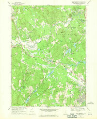
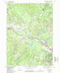
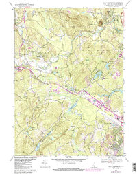
Editions of this 1968 South Merrimack Map
4 editions found
Other maps of this area

1886 · Lowell
USGS Topo · 1:62,500

1893 · Lowell
USGS Topo · 1:62,500

1893 · Groton
USGS Topo · 1:62,500

1905 · Manchester
USGS Topo · 1:62,500

1906 · Milford
USGS Topo · 1:62,500

1918 · Lowell
USGS Topo · 1:62,500

1921 · Lowell
USGS Topo · 1:62,500

1931 · Lowell
USGS Topo · 1:48,000

1931 · Groton
USGS Topo · 1:48,000

1935 · Groton
USGS Topo · 1:62,500