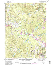
1968 Map of South Merrimack
USGS Topo · Published 1985About this map
The Souhegan River winds through the heart of Hillsborough County, anchoring a landscape that bridges the quiet town of Amherst with the expanding industrial and residential fringes of Nashua. This survey, updated with 1980s land-use data, captures the evolution of Southern New Hampshire as suburban clusters like Broad Acres and Lincoln Park began to fill the spaces between long-established settlements. The Boston and Maine railroad tracks cut through the terrain, passing through Ponemah and past Boire Field, reflecting the area's ongoing connection to regional transit networks.
Find a feature on this map
88 named features on this map. Tap any name to fly to it.
Don’t see what you’re looking for? This feature index may not catch every label — zoom into the map to look around manually.
Map Details
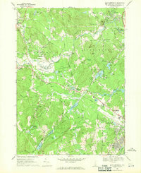
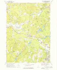
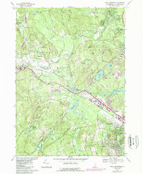
Editions of this 1968 South Merrimack Map
4 editions found
Other maps of this area

1886 · Lowell
USGS Topo · 1:62,500

1893 · Lowell
USGS Topo · 1:62,500

1893 · Groton
USGS Topo · 1:62,500

1905 · Manchester
USGS Topo · 1:62,500

1906 · Milford
USGS Topo · 1:62,500

1918 · Lowell
USGS Topo · 1:62,500

1921 · Lowell
USGS Topo · 1:62,500

1931 · Lowell
USGS Topo · 1:48,000

1931 · Groton
USGS Topo · 1:48,000

1935 · Groton
USGS Topo · 1:62,500