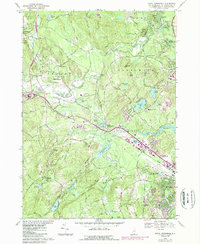
1968 Map of South Merrimack
USGS Topo · Published 1985About this map
The Souhegan River and Pennichuck Brook define the topography of this region during the mid-to-late 20th century, a landscape of transitioning rural townships and growing aviation infrastructure. The western reaches of Nashua are marked by Boire Field and the educational grounds of Webster Jr Coll, while the town of Amherst maintains its traditional character through numerous local burying grounds like Town Cem and St Patricks Cem. Industrial history remains visible at Haydens Millpond and along the Boston and Maine Railroad line that bisects the terrain.
Find a feature on this map
94 named features on this map. Tap any name to fly to it.
Don’t see what you’re looking for? This feature index may not catch every label — zoom into the map to look around manually.
Map Details
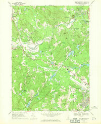
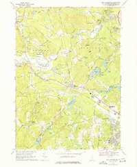
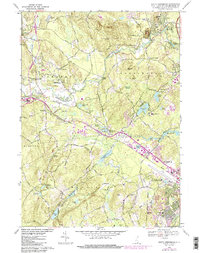
Editions of this 1968 South Merrimack Map
4 editions found
Other maps of this area

1886 · Lowell
USGS Topo · 1:62,500

1893 · Lowell
USGS Topo · 1:62,500

1893 · Groton
USGS Topo · 1:62,500

1905 · Manchester
USGS Topo · 1:62,500

1906 · Milford
USGS Topo · 1:62,500

1918 · Lowell
USGS Topo · 1:62,500

1921 · Lowell
USGS Topo · 1:62,500

1931 · Lowell
USGS Topo · 1:48,000

1931 · Groton
USGS Topo · 1:48,000

1935 · Groton
USGS Topo · 1:62,500