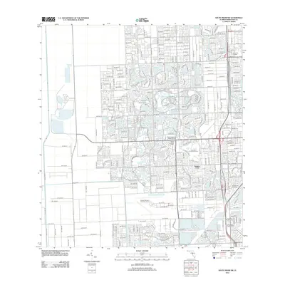
2012 Map of South Miami NW
USGS Topo · Published 2012About this map
Lindgren Acres and the sprawling residential developments of Southwest Miami-Dade define this modern topographic landscape. This 2012 survey reveals a highly engineered environment where water management is central to urban planning, evidenced by the intricate network of the Snapper Creek Canal, Black Cr Canal Number C-1, and Cutler Drain Canal Number C-100. These waterways weave through neighborhoods surrounding numerous named man-made water bodies such as Kendale Lake and San Sebastian Lake.
Find a feature on this map
122 named features on this map. Tap any name to fly to it.
Don’t see what you’re looking for? This feature index may not catch every label — zoom into the map to look around manually.
Map Details
Editions of this 2012 South Miami NW Map
This is the sole edition of this map. No revisions or reprints were ever made.
Other maps of this area

1949 · South Miami NW
USGS Topo · 1:24,000

1949 · Goulds
USGS Topo · 1:24,000

1949 · Perrine
USGS Topo · 1:24,000

1950 · Hialeah
USGS Topo · 1:24,000

1950 · South Miami
USGS Topo · 1:24,000

1955 · South Miami NW
USGS Topo · 1:24,000

1956 · Goulds
USGS Topo · 1:24,000

1956 · Perrine
USGS Topo · 1:24,000

1956 · South Miami
USGS Topo · 1:24,000

1956 · Grossman Hammock
USGS Topo · 1:24,000