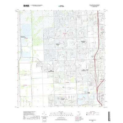
2018 Map of South Miami NW
USGS Topo · Published 2018About this map
Everglades National Park meets the western edge of Miami's suburban expansion in this detailed 2018 survey. The transition from the natural wetland of the Everglades to the structured residential communities of Kendale Lakes, Kendall West, and The Hammocks is sharply defined by north-south corridors like SW 177th Ave. This landscape reflects the late 20th-century development patterns of Miami-Dade County, where artificial water bodies such as San Sebastian Lake and Winston Lake provide both drainage and aesthetic value to planned neighborhoods.
Find a feature on this map
86 named features on this map. Tap any name to fly to it.
Don’t see what you’re looking for? This feature index may not catch every label — zoom into the map to look around manually.
Map Details
Editions of this 2018 South Miami NW Map
This is the sole edition of this map. No revisions or reprints were ever made.
Other maps of this area

1949 · South Miami NW
USGS Topo · 1:24,000

1949 · Goulds
USGS Topo · 1:24,000

1949 · Perrine
USGS Topo · 1:24,000

1950 · Hialeah
USGS Topo · 1:24,000

1950 · South Miami
USGS Topo · 1:24,000

1955 · South Miami NW
USGS Topo · 1:24,000

1956 · Goulds
USGS Topo · 1:24,000

1956 · Perrine
USGS Topo · 1:24,000

1956 · South Miami
USGS Topo · 1:24,000

1956 · Grossman Hammock
USGS Topo · 1:24,000