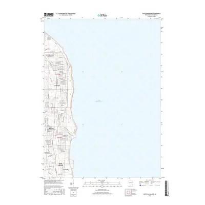
2016 Map of South Milwaukee
USGS Topo · Published 2016About this map
Lake Michigan borders a dense industrial and residential corridor on the western shore, capturing the modern landscape of the Milwaukee lakefront. The map shows the established street grids and neighborhood boundaries of St. Francis, Cudahy, and South Milwaukee. This area reflects the late 20th and early 21st-century suburban density that characterizes the region south of the city proper, with thoroughfares like S Lake Dr and E Howard Ave serving as primary connectors through the residential blocks.
Find a feature on this map
93 named features on this map. Tap any name to fly to it.
Don’t see what you’re looking for? This feature index may not catch every label — zoom into the map to look around manually.
Map Details
Editions of this 2016 South Milwaukee Map
This is the sole edition of this map. No revisions or reprints were ever made.
Other maps of this area

1891 · Bayview
USGS Topo · 1:62,500

1892 · Milwaukee
USGS Topo · 1:62,500

1901 · Milwaukee
USGS Topo · 1:62,500

1901 · Bayview
USGS Topo · 1:62,500

1906 · Milwaukee
USGS Topo · 1:62,500

1954 · Milwaukee
USGS Topo · 1:250,000

1958 · Milwaukee
USGS Topo · 1:250,000
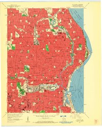
1958 · Milwaukee
USGS Topo · 1:24,000
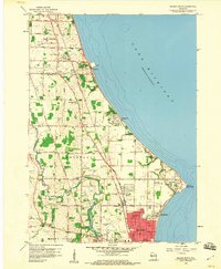
1958 · Racine North
USGS Topo · 1:24,000
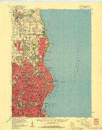
1958 · Milwaukee
USGS Topo · 1:62,500