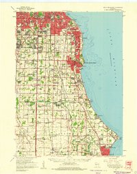
1958 Map of South Milwaukee
USGS Topo · Published 1960About this map
The industrial corridor and residential expansion south of Milwaukee are defined here by a dense network of transit and civic institutions. The lakefront is punctuated by major infrastructure including the Waterworks in South Milwaukee, several sewage disposal sites, and the growing General Mitchell Field. Inland, the landscape transitions from the urban grids of Cudahy and St. Francis to the planned layout of Greendale, while the southern reaches of Milwaukee and Racine counties remain primarily agricultural. Large institutional landholdings are prominent, including the County House of Correction and the U S Military Reservation near Franklin.
Find a feature on this map
97 named features on this map. Tap any name to fly to it.
Don’t see what you’re looking for? This feature index may not catch every label — zoom into the map to look around manually.
Map Details
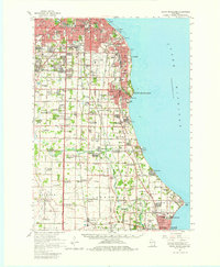
Editions of this 1958 South Milwaukee Map
2 editions found
Other maps of this area

1891 · Bayview
USGS Topo · 1:62,500

1891 · Muskego
USGS Topo · 1:62,500

1892 · Milwaukee
USGS Topo · 1:62,500

1892 · Waukesha
USGS Topo · 1:62,500

1892 · Racine
USGS Topo · 1:62,500

1893 · Silver Lake
USGS Topo · 1:62,500

1901 · Milwaukee
USGS Topo · 1:62,500

1901 · Waukesha
USGS Topo · 1:62,500

1901 · Bayview
USGS Topo · 1:62,500

1901 · Muskego
USGS Topo · 1:62,500