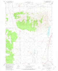
1980 Map of South Mountain
USGS Topo · Published 1980About this map
South Mountain dominates the center of this landscape, rising above the arid expanse of Rush Valley in Tooele County. The terrain reflects a mix of military presence and resource extraction, with the Tooele Army Depot occupying the northern edge of the quadrangle while various industrial sites like the Morgan Gravel Pit and a hillside Quarry dot the slopes and plains. Water is a defining yet scarce feature, seen in the seasonal reaches of Hickman Creek and the southern tip of Rush Lake. Small springs and wells are scattered across the valley floor, marking essential points of habitation or livestock support in this high-desert environment. To the south and west, the map details several canyons such as Welch Canyon and Hickman Canyon, alongside the Union Pacific rail line that skirts the eastern edge of the valley.
Find a feature on this map
19 named features on this map. Tap any name to fly to it.
Don’t see what you’re looking for? This feature index may not catch every label — zoom into the map to look around manually.
Map Details
Editions of this 1980 South Mountain Map
2 editions found
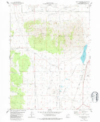
Other maps of this area

1885 · Tooele Valley
USGS Topo · 1:250,000

1918 · Stockton
USGS Topo · 1:62,500

1953 · Tooele
USGS Topo · 1:250,000

1955 · Timpie
USGS Topo · 1:62,500

1955 · Deseret Peak
USGS Topo · 1:62,500

1955 · Grantsville
USGS Topo · 1:24,000

1955 · Stockton
USGS Topo · 1:62,500

1955 · Tooele
USGS Topo · 1:250,000

1955 · Tooele
USGS Topo · 1:24,000

1979 · Rush Valley
USGS Topo · 1:100,000