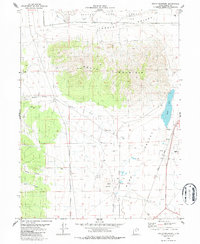
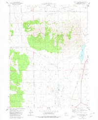
1980 Map of South Mountain
USGS Topo · Published 1986About this map
The Tooele Army Depot dominates the northern expanse of this landscape, marking a significant military footprint within the Tooele Valley during the late 1970s. This survey, edited in 1980, captures the transition between the valley floor and the prominent heights of South Mountain. To the south and east, the Union Pacific railroad corridor skirts the edge of Rush Valley, passing near Rush Lake and various water sources such as Springs and a Spring.
Find a feature on this map
20 named features on this map. Tap any name to fly to it.
Don’t see what you’re looking for? This feature index may not catch every label — zoom into the map to look around manually.
Map Details
Editions of this 1980 South Mountain Map
2 editions found
Other maps of this area

1885 · Tooele Valley
USGS Topo · 1:250,000

1918 · Stockton
USGS Topo · 1:62,500

1953 · Tooele
USGS Topo · 1:250,000

1955 · Timpie
USGS Topo · 1:62,500

1955 · Deseret Peak
USGS Topo · 1:62,500

1955 · Grantsville
USGS Topo · 1:24,000

1955 · Stockton
USGS Topo · 1:62,500

1955 · Tooele
USGS Topo · 1:250,000

1955 · Tooele
USGS Topo · 1:24,000

1979 · Rush Valley
USGS Topo · 1:100,000