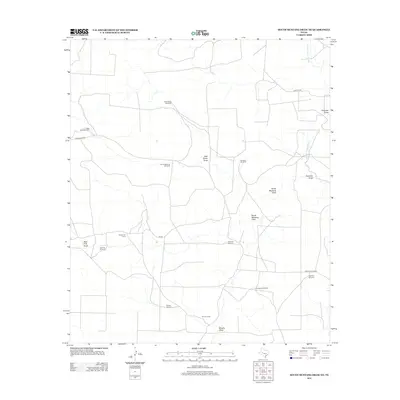
2012 Map of South Mustang Draw NE
USGS Topo · Published 2012About this map
The Middle Concho River cuts through the northeast corner of this arid West Texas landscape, where life and labor are organized around essential water sources. This 2012 survey captures a vast ranching infrastructure defined by named windmills and line camps, reflecting the region's enduring cattle-working heritage. Isolated outposts like Elbow Line Camp and Vat Line Camp sit at the intersection of private ranch roads such as Vat Rd and Highland Pens Rd.
Find a feature on this map
23 named features on this map. Tap any name to fly to it.
Don’t see what you’re looking for? This feature index may not catch every label — zoom into the map to look around manually.
Map Details
Editions of this 2012 South Mustang Draw NE Map
This is the sole edition of this map. No revisions or reprints were ever made.
Other maps of this area

1921 · Ketchum Mountain
USGS Topo · 1:62,500

1923 · Ketchum Mountain
USGS Topo · 1:62,500

1954 · San Angelo
USGS Topo · 1:250,000

1958 · San Angelo
USGS Topo · 1:250,000

1965 · San Angelo
USGS Topo · 1:250,000

1970 · South Mustang Draw SE
USGS Topo · 1:24,000

1970 · South Mustang Draw NE
USGS Topo · 1:24,000

1970 · Moore Hill
USGS Topo · 1:24,000
1970 · Divide Draw
USGS Topo · 1:24,000

1973 · Hay Hollow
USGS Topo · 1:24,000