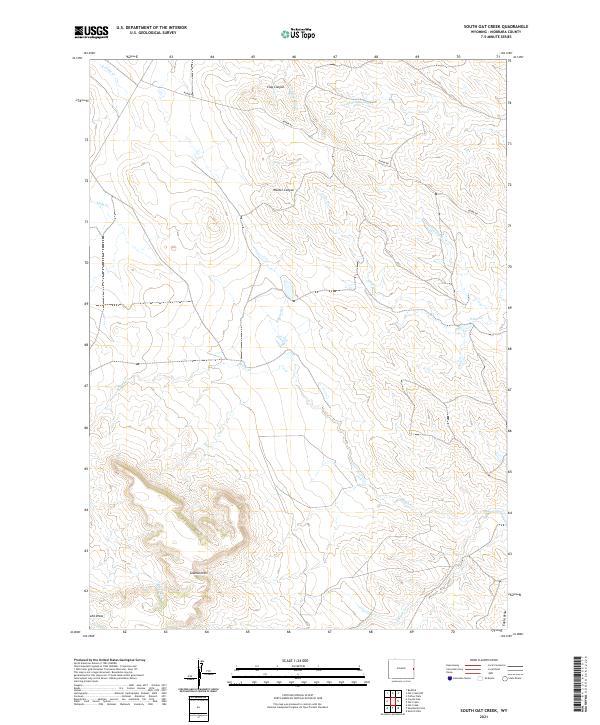
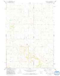
2021 Map of South Oat Creek
USGS Topo · Published 2021About this map
Seaman Hills dominate the southern landscape of this Niobrara County survey, where the terrain is defined by a complex network of canyons and seasonal drainages. The topography is marked by significant erosion features such as Clay Canyon and Walker Canyon, while the lower elevations are crossed by Sand Draw and Eagle Draw. This high-plains environment is primarily accessed via Boner Rd, which winds through the northern sections near the headwaters of Black Tail Cr and S Cottonwood Cr.
Find a feature on this map
20 named features on this map. Tap any name to fly to it.
Don’t see what you’re looking for? This feature index may not catch every label — zoom into the map to look around manually.
Map Details
Editions of this 2021 South Oat Creek Map
This is the sole edition of this map. No revisions or reprints were ever made.
Other maps of this area

1954 · Torrington
USGS Topo · 1:250,000

1955 · Newcastle
USGS Topo · 1:250,000

1958 · Torrington
USGS Topo · 1:250,000

1958 · Newcastle
USGS Topo · 1:250,000

1978 · Shepherds Point
USGS Topo · 1:24,000

1978 · Coffee Flats
USGS Topo · 1:24,000
1978 · Oat Creek NW
USGS Topo · 1:24,000
1978 · South Oat Creek
USGS Topo · 1:24,000
1978 · Oat Creek
USGS Topo · 1:24,000
1978 · Sherrill Hills
USGS Topo · 1:24,000