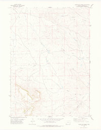
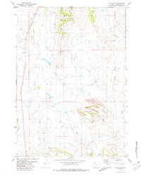
1978 Map of South Oat Creek
USGS Topo · Published 1979About this map
The Seaman Hills dominate the southern landscape of this Niobrara County region, where the terrain is defined by a dense network of intermittent drainages. Water management is a central theme of this 1970s landscape, evidenced by the numerous Tank and Water Tank labels scattered across the sections to support livestock in this arid environment. The map captures the complex hydrology of the area, featuring the headwaters and junctions of North Oat Creek, South Oat Creek, and the winding Brush Creek. In the northwest, Alum Creek and Black Tail Creek carve through the elevation, while a prominent Bluff provides a landmark in the southwestern quadrant. This survey reflects the ranching infrastructure of eastern Wyoming during the late twentieth century, showing the placement of isolated Well sites and the section lines that organize this open range.
Find a feature on this map
12 named features on this map. Tap any name to fly to it.
Don’t see what you’re looking for? This feature index may not catch every label — zoom into the map to look around manually.
Map Details
Editions of this 1978 South Oat Creek Map
This is the sole edition of this map. No revisions or reprints were ever made.
Other maps of this area

1954 · Torrington
USGS Topo · 1:250,000

1955 · Newcastle
USGS Topo · 1:250,000

1958 · Torrington
USGS Topo · 1:250,000

1958 · Newcastle
USGS Topo · 1:250,000

1978 · Shepherds Point
USGS Topo · 1:24,000

1978 · Coffee Flats
USGS Topo · 1:24,000
1978 · Oat Creek NW
USGS Topo · 1:24,000
1978 · Oat Creek
USGS Topo · 1:24,000
1978 · Sherrill Hills
USGS Topo · 1:24,000
1981 · Coyote Gap
USGS Topo · 1:24,000