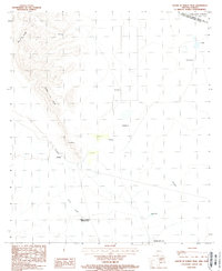
1988 Map of South of Bailey Peak
USGS Topo · Published 1988About this map
The Papago Indian Reservation borders the international line in this 1980s topographic study, capturing the intersection of the United States and Mexico through the Arizona-Sonora desert. The landscape transitions from the jagged heights of Sierra El Conejo and Sierra La Nariz in the west to the expansive drainage of Sonoita and the open terrain of The Great Plain to the northeast.
Find a feature on this map
20 named features on this map. Tap any name to fly to it.
Don’t see what you’re looking for? This feature index may not catch every label — zoom into the map to look around manually.
Map Details
Editions of this 1988 South of Bailey Peak Map
This is the sole edition of this map. No revisions or reprints were ever made.
Other maps of this area

1954 · Sonoyta
USGS Topo · 1:250,000

1963 · Kom Vo
USGS Topo · 1:62,500

1963 · Lukeville
USGS Topo · 1:250,000

1963 · Diaz Peak
USGS Topo · 1:62,500
1988 · South of Papago Farms
USGS Topo · 1:24,000
1988 · Bailey Peak
USGS Topo · 1:24,000
1988 · Papago Farms
USGS Topo · 1:24,000
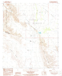
1988 · Menagers Lake
USGS Topo · 1:24,000
1994 · Lukeville
USGS Topo · 1:100,000
1996 · Menagers Lake
USGS Topo · 1:24,000