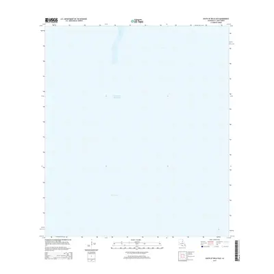
2015 Map of South of Belle Isle
USGS Topo · Published 2015About this map
The Gulf of Mexico dominates this coastal survey south of St. Mary Parish, illustrating the shifting maritime landscape of southern Louisiana. The map focuses on the submerged and semi-submerged environments where the Louisiana marshlands meet the open sea. Named waterways like New Pass and Ann Channel serve as the primary markers in an otherwise open expanse of water, highlighting the critical passages used by local mariners and industry. This chart serves as a precise record of the shoreline and coastal depth at a specific moment in time, providing essential context for understanding the geomorphology of the Belle Isle region without the clutter of inland development.
Find a feature on this map
3 named features on this map. Tap any name to fly to it.
Don’t see what you’re looking for? This feature index may not catch every label — zoom into the map to look around manually.
Map Details
Editions of this 2015 South of Belle Isle Map
This is the sole edition of this map. No revisions or reprints were ever made.
Other maps of this area

1935 · Belle Isle
USGS Topo · 1:31,680

1937 · Bayou Sale
USGS Topo · 1:62,500

1941 · Belle Isle
USGS Topo · 1:62,500

1945 · New Orleans
USGS Topo · 1:250,000

1954 · Belle Isle
USGS Topo · 1:62,500

1957 · Bayou Sale
USGS Topo · 1:62,500

1957 · Point Au Fer
USGS Topo · 1:62,500

1963 · New Orleans
USGS Topo · 1:250,000

1966 · New Orleans
USGS Topo · 1:250,000
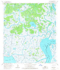
1966 · Lake Salve
USGS Topo · 1:24,000