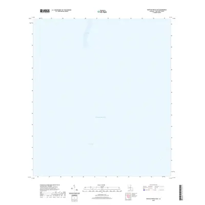
2020 Map of South of Belle Isle
USGS Topo · Published 2020About this map
The Gulf of Mexico dominates this coastal survey of the waters south of Belle Isle in St. Mary Parish. The map documents a landscape of shifting aquatic channels and maritime passages at the edge of the Louisiana coast. Key navigational markers include New Pass and the Ann Channel, which characterize the transition from the inner marshes to the open sea. This record captures the precise bathymetric and hydrographic state of these Louisiana waters in the early twenty-first century, serving as a critical reference for understanding the coastline before future deltaic changes or environmental shifts.
Find a feature on this map
3 named features on this map. Tap any name to fly to it.
Don’t see what you’re looking for? This feature index may not catch every label — zoom into the map to look around manually.
Map Details
Editions of this 2020 South of Belle Isle Map
This is the sole edition of this map. No revisions or reprints were ever made.
Other maps of this area

1935 · Belle Isle
USGS Topo · 1:31,680

1937 · Bayou Sale
USGS Topo · 1:62,500

1941 · Belle Isle
USGS Topo · 1:62,500

1945 · New Orleans
USGS Topo · 1:250,000

1954 · Belle Isle
USGS Topo · 1:62,500

1957 · Bayou Sale
USGS Topo · 1:62,500

1957 · Point Au Fer
USGS Topo · 1:62,500

1963 · New Orleans
USGS Topo · 1:250,000

1966 · New Orleans
USGS Topo · 1:250,000
1966 · Lake Salve
USGS Topo · 1:24,000