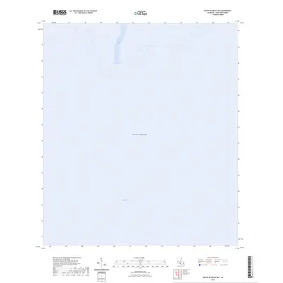
2024 Map of South of Belle Isle
USGS Topo · Published 2024About this map
The Gulf of Mexico dominates this coastal survey, where the terrestrial landscape of Louisiana's St. Mary Parish gives way to the open waters of the Gulf. The map documents the shifting interface of land and sea, primarily defined by the tidal outlets and maritime passages that characterize this segment of the Bayou State's southern edge. This specific reach is defined by New Pass, a significant water break along the northern shoreline, and the Ann Channel further south within the open bay. These features represent critical navigational waypoints in a region where the geography is constantly reshaped by sediment and sea, providing a high-resolution look at the hydrography south of Belle Isle at the time of the 2024 survey.
Find a feature on this map
3 named features on this map. Tap any name to fly to it.
Don’t see what you’re looking for? This feature index may not catch every label — zoom into the map to look around manually.
Map Details
Editions of this 2024 South of Belle Isle Map
This is the sole edition of this map. No revisions or reprints were ever made.
Other maps of this area

1935 · Belle Isle
USGS Topo · 1:31,680

1937 · Bayou Sale
USGS Topo · 1:62,500

1941 · Belle Isle
USGS Topo · 1:62,500

1945 · New Orleans
USGS Topo · 1:250,000

1954 · Belle Isle
USGS Topo · 1:62,500

1957 · Bayou Sale
USGS Topo · 1:62,500

1957 · Point Au Fer
USGS Topo · 1:62,500

1963 · New Orleans
USGS Topo · 1:250,000

1966 · New Orleans
USGS Topo · 1:250,000
1966 · Lake Salve
USGS Topo · 1:24,000