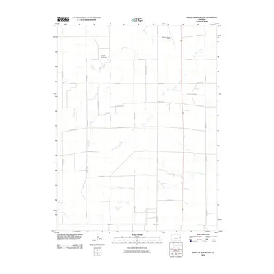
2010 Map of South of Burlington
USGS Topo · Published 2010About this map
Kit Carson County Airport and the surrounding agricultural landscape define this section of the High Plains just south of the interstate corridor. The terrain is structured by a rigorous grid of section roads, including County Road R and County Road G, which facilitate travel through this rural ranching and farming district. Water management is central to the area's utility, evidenced by the Amy R Foote Dam and the winding paths of seasonal drainage systems. Several ephemeral watercourses, including Sand Creek, Middle Beaver Creek, and Sandy Creek, traverse the grid, illustrating how natural topography persists amidst the orderly geometry of Colorado's eastern plains. This 2010 survey provides a clear view of land division and infrastructure serving the community south of the county seat.
Find a feature on this map
25 named features on this map. Tap any name to fly to it.
Don’t see what you’re looking for? This feature index may not catch every label — zoom into the map to look around manually.
Map Details
Editions of this 2010 South of Burlington Map
This is the sole edition of this map. No revisions or reprints were ever made.
Other maps of this area

1954 · Limon
USGS Topo · 1:250,000

1957 · Limon
USGS Topo · 1:250,000

1958 · Limon
USGS Topo · 1:250,000

1969 · Mount Sunflower SW
USGS Topo · 1:24,000

1969 · Burlington 3 SE
USGS Topo · 1:24,000

1969 · Bethune
USGS Topo · 1:24,000

1969 · Burlington
USGS Topo · 1:24,000

1969 · Mount Sunflower NW
USGS Topo · 1:24,000

1969 · Peconic
USGS Topo · 1:24,000

1969 · Burlington 3 NW
USGS Topo · 1:24,000