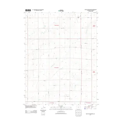
2013 Map of South of Burlington
USGS Topo · Published 2013About this map
Amy R Foote Reservoir is the central landmark in this 2013 landscape, situated amidst the agricultural grid south of Burlington. The terrain is defined by the ephemeral courses of Sand Creek and Middle Beaver Creek, which cut diagonal paths across the structured section lines of Kit Carson County. These intermittent waterways reflect the high plains environment, where water management is critical to local land use. This 2013 survey captures a rural landscape dominated by county roads and vast tracts of open land, showing the subtle topographic variations that guide the flow of seasonal drainage through the region.
Find a feature on this map
1 named feature on this map. Tap any name to fly to it.
Don’t see what you’re looking for? This feature index may not catch every label — zoom into the map to look around manually.
Map Details
Editions of this 2013 South of Burlington Map
This is the sole edition of this map. No revisions or reprints were ever made.
Other maps of this area

1954 · Limon
USGS Topo · 1:250,000

1957 · Limon
USGS Topo · 1:250,000

1958 · Limon
USGS Topo · 1:250,000

1969 · Mount Sunflower SW
USGS Topo · 1:24,000

1969 · Burlington 3 SE
USGS Topo · 1:24,000

1969 · Bethune
USGS Topo · 1:24,000

1969 · Burlington
USGS Topo · 1:24,000

1969 · Mount Sunflower NW
USGS Topo · 1:24,000

1969 · Peconic
USGS Topo · 1:24,000

1969 · Burlington 3 NW
USGS Topo · 1:24,000