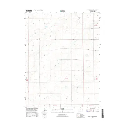
2016 Map of South of Burlington
USGS Topo · Published 2016About this map
Kit Carson County Airport anchors the northeastern portion of this High Plains landscape, situated just south of the interstate corridor in Kit Carson County. The terrain is defined by the subtle drainages of the Middle Beaver Cr and Sand Cr systems, which create a dendritic pattern across the grid of county roads. One of the few significant water catchments in this arid environment is the Amy R Foote Reservoir, a notable landmark for local land management and hydrology. This 2016 survey illustrates the persistent section-line road network, including routes from Co RD R down to Co RD G, which has dictated the settlement and agricultural rhythm of the Colorado plains for over a century.
Find a feature on this map
27 named features on this map. Tap any name to fly to it.
Don’t see what you’re looking for? This feature index may not catch every label — zoom into the map to look around manually.
Map Details
Editions of this 2016 South of Burlington Map
This is the sole edition of this map. No revisions or reprints were ever made.
Other maps of this area

1954 · Limon
USGS Topo · 1:250,000

1957 · Limon
USGS Topo · 1:250,000

1958 · Limon
USGS Topo · 1:250,000

1969 · Mount Sunflower SW
USGS Topo · 1:24,000

1969 · Burlington 3 SE
USGS Topo · 1:24,000

1969 · Bethune
USGS Topo · 1:24,000

1969 · Burlington
USGS Topo · 1:24,000

1969 · Mount Sunflower NW
USGS Topo · 1:24,000

1969 · Peconic
USGS Topo · 1:24,000

1969 · Burlington 3 NW
USGS Topo · 1:24,000