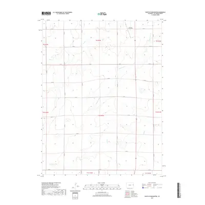
2019 Map of South of Burlington
USGS Topo · Published 2019About this map
Kit Carson County Airport stands at the northern edge of this high plains region, serving as a modern aviation landmark in an area defined by long-standing agricultural boundaries. The landscape is organized by a rigid grid of county roads, including Co Rd R and Co Rd G, which navigate the subtle drainage patterns of the eastern Colorado prairie. Seasonal waterways like Sand Cr, Middle Beaver Cr, and Sandy Cr wind through the township and range sections, illustrating the natural hydrology that dictates the region's land use. This 2019 survey provides a precise look at the rural infrastructure and modern section lines that have structured Kit Carson County for generations.
Find a feature on this map
21 named features on this map. Tap any name to fly to it.
Don’t see what you’re looking for? This feature index may not catch every label — zoom into the map to look around manually.
Map Details
Editions of this 2019 South of Burlington Map
This is the sole edition of this map. No revisions or reprints were ever made.
Other maps of this area

1954 · Limon
USGS Topo · 1:250,000

1957 · Limon
USGS Topo · 1:250,000

1958 · Limon
USGS Topo · 1:250,000

1969 · Mount Sunflower SW
USGS Topo · 1:24,000

1969 · Burlington 3 SE
USGS Topo · 1:24,000

1969 · Bethune
USGS Topo · 1:24,000

1969 · Burlington
USGS Topo · 1:24,000

1969 · Mount Sunflower NW
USGS Topo · 1:24,000

1969 · Peconic
USGS Topo · 1:24,000

1969 · Burlington 3 NW
USGS Topo · 1:24,000