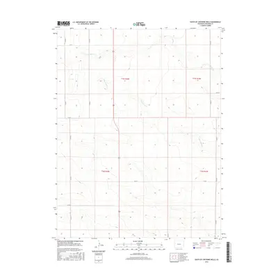
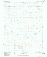
2016 Map of South of Cheyenne Wells
USGS Topo · Published 2016About this map
White Woman Cr and S Ladder Cr define the hydrological character of this high plains region south of the county seat. This 2016 survey illustrates the persistent grid of the Public Land Survey System, specifically within t15s r44w and surrounding townships, where agricultural life is organized by an extensive network of gravel and dirt routes. Key corridors such as Co Rd 44 and Co Rd 50 serve as the primary lifelines for the scattered farmsteads and ranching operations that occupy these section lines. The map captures the quiet, geometric precision of modern Cheyenne County land use, where the intermittent flow of prairie creeks provides the only interruption to a landscape shaped by decades of rural development and boundary management.
Find a feature on this map
16 named features on this map. Tap any name to fly to it.
Don’t see what you’re looking for? This feature index may not catch every label — zoom into the map to look around manually.
Map Details
Editions of this 2016 South of Cheyenne Wells Map
This is the sole edition of this map. No revisions or reprints were ever made.
Other maps of this area

1892 · Cheyenne Wells
USGS Topo · 1:125,000

1894 · Cheyenne Wells
USGS Topo · 1:125,000

1954 · Lamar
USGS Topo · 1:250,000

1958 · Lamar
USGS Topo · 1:250,000

1981 · Cheyenne Wells
USGS Topo · 1:100,000

1982 · Cheyenne Wells SW
USGS Topo · 1:24,000
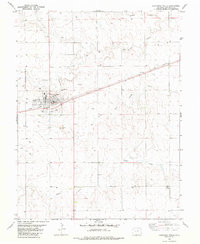
1982 · Cheyenne Wells
USGS Topo · 1:24,000
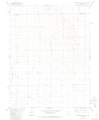
1982 · Cheyenne Wells 3 SW
USGS Topo · 1:24,000
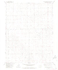
1982 · Cheyenne Wells 3 NW
USGS Topo · 1:24,000
1982 · Lake Albert
USGS Topo · 1:24,000