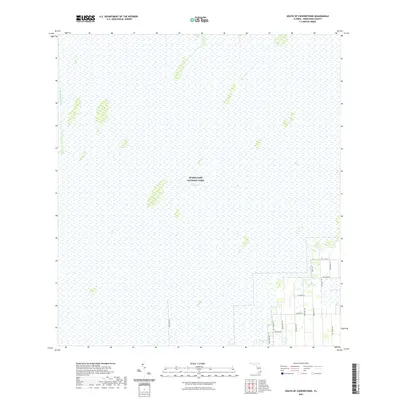
2021 Map of South of Coopertown
USGS Topo · Published 2021About this map
Everglades National Park covers the vast majority of this landscape, characterized by the expansive wetlands of The Everglades. The terrain is primarily comprised of sawgrass prairies and hammocks, interrupted only by the long reach of the Blue Shanty Canal which cuts through the northwestern portion of the sheet. This environment reflects the preserved wilderness of South Florida, where drainage and water management remain the primary anthropogenic influences.
Find a feature on this map
16 named features on this map. Tap any name to fly to it.
Don’t see what you’re looking for? This feature index may not catch every label — zoom into the map to look around manually.
Map Details
Editions of this 2021 South of Coopertown Map
This is the sole edition of this map. No revisions or reprints were ever made.
Other maps of this area

1949 · South Miami NW
USGS Topo · 1:24,000

1949 · Goulds
USGS Topo · 1:24,000

1955 · South Miami NW
USGS Topo · 1:24,000

1956 · Goulds
USGS Topo · 1:24,000

1956 · Grossman Hammock
USGS Topo · 1:24,000

1956 · Miami
USGS Topo · 1:250,000

1958 · Miami
USGS Topo · 1:250,000

1972 · Chekika Island
USGS Topo · 1:24,000

1972 · South Of Coopertown
USGS Topo · 1:24,000
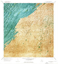
1972 · Black Hammock
USGS Topo · 1:24,000