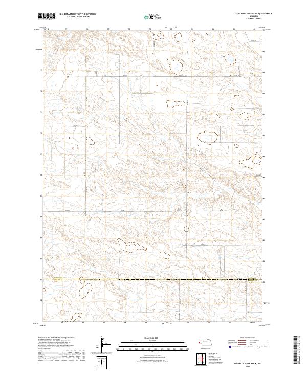
2021 Map of South of Gabe Rock
USGS Topo · Published 2021About this map
Rocky Hollow cuts through the high plains of the Nebraska Panhandle, defining the central drainage of this sparsely populated landscape. The survey documents the high-altitude terrain at the border of Banner and Kimball Counties, a region defined by its vast section lines and long-distance county roads. The network of section-line routes, including Co Rd 14 and Co Rd 6, reveals a landscape organized for large-scale ranching and agriculture, where infrastructure is dictated by the rigid geometry of the Public Land Survey System. Modern transport is represented by the remote crossing of Co Rd 31 at the county line, while the southern boundary is anchored by Co Rd 54. This map provides a detailed view of the natural breaks and coulees that interrupt the plateau, offering a clear record of the rural land divisions and topographic relief in a quiet corner of the High Plains.
Find a feature on this map
16 named features on this map. Tap any name to fly to it.
Don’t see what you’re looking for? This feature index may not catch every label — zoom into the map to look around manually.
Map Details
Editions of this 2021 South of Gabe Rock Map
This is the sole edition of this map. No revisions or reprints were ever made.
Other maps of this area

1898 · Scotts Bluff
USGS Topo · 1:125,000

1954 · Scottsbluff
USGS Topo · 1:250,000

1958 · Scottsbluff
USGS Topo · 1:250,000

1973 · Kimball 2 NE
USGS Topo · 1:24,000

1973 · Kimball 2 SE
USGS Topo · 1:24,000
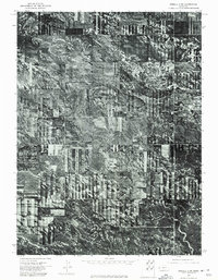
1973 · Kimball 2 SW
USGS Topo · 1:24,000

1973 · Scotts Bluff 4 SW
USGS Topo · 1:24,000

1973 · Scotts Bluff 3 SE
USGS Topo · 1:24,000

1973 · Kimball 2 NW
USGS Topo · 1:24,000

1973 · Kimball 1 NW
USGS Topo · 1:24,000