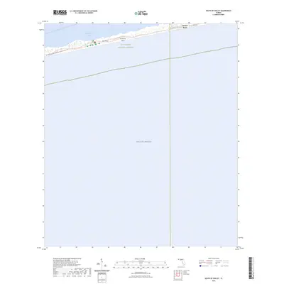
2024 Map of South of Holley
USGS Topo · Published 2024About this map
Santa Rosa Island forms a narrow, protective barrier between the open Gulf of Mexico and the calmer waters of Santa Rosa Sound. This contemporary survey shows the slender strip of land preserved within the Gulf Islands National Seashore, where human infrastructure is largely confined to essential transport corridors like SR J Earle Bowden Road/State Highway 399-Rt 0011.
Find a feature on this map
10 named features on this map. Tap any name to fly to it.
Don’t see what you’re looking for? This feature index may not catch every label — zoom into the map to look around manually.
Map Details
Editions of this 2024 South of Holley Map
This is the sole edition of this map. No revisions or reprints were ever made.
Other maps of this area

1921 · Holley
USGS Topo · 1:62,500

1921 · Pensacola
USGS Topo · 1:62,500

1936 · Holley
USGS Topo · 1:48,000

1938 · Holley
USGS Topo · 1:62,500

1941 · Pensacola
USGS Topo · 1:62,500

1942 · Pensacola
USGS Topo · 1:62,500
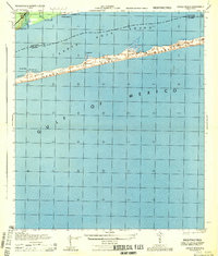
1944 · Oriole Beach
USGS Topo · 1:25,000
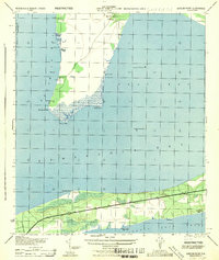
1944 · Garcon Point
USGS Topo · 1:25,000

1957 · Pensacola
USGS Topo · 1:250,000

1959 · Pensacola
USGS Topo · 1:250,000