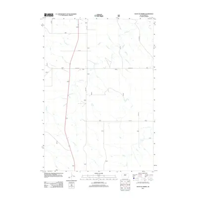
2012 Map of South of Pierre
USGS Topo · Published 2012About this map
Antelope Cr meanders across this rural expanse of Jones County, carving a distinct drainage pattern through the central and western reaches of the quadrangle. This 2012 survey illustrates a landscape primarily defined by its hydrology and a rigid section-line road network typical of the Great Plains. Waterways such as Gray Blanket Cr in the northwest and Cedar Cr in the southeast indicate the natural flow of the terrain toward larger basins beyond the map's borders.
Find a feature on this map
8 named features on this map. Tap any name to fly to it.
Don’t see what you’re looking for? This feature index may not catch every label — zoom into the map to look around manually.
Map Details
Editions of this 2012 South of Pierre Map
This is the sole edition of this map. No revisions or reprints were ever made.
Other maps of this area

1924 · Pierre
USGS Topo · 1:62,500

1934 · Canning
USGS Topo · 1:48,000

1937 · Canning
USGS Topo · 1:62,500

1953 · Pierre SW
USGS Topo · 1:24,000

1953 · Pierre 3 NW
USGS Topo · 1:24,000

1954 · Pierre
USGS Topo · 1:250,000

1958 · Pierre
USGS Topo · 1:250,000

1967 · Ft. George Butte NW
USGS Topo · 1:24,000

1967 · Ft. George Butte SW
USGS Topo · 1:24,000

1972 · Pierre 3 SW
USGS Topo · 1:24,000