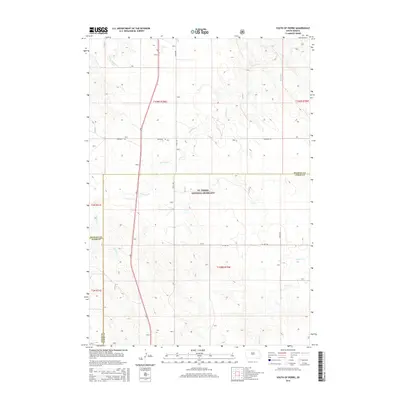
2015 Map of South of Pierre
USGS Topo · Published 2015About this map
Ft. Pierre National Grassland dominates the central portion of this landscape where the boundaries of Stanley, Lyman, and Jones counties converge. This 2015 survey reveals a terrain defined by the drainage patterns of Antelope Cr and Gray Blanket Cr, which carve through the high plains south of the Missouri River. The map captures the organized section lines of the Public Land Survey System, specifically t109n r79w and t108n r79w, illustrating how the ranching and conservation lands are partitioned. Transportation is sparse, primarily confined to Warcreek Rd and Co Hwy 20, reflecting the open and undeveloped nature of this protected prairie environment. To the southeast, the headwaters of Cedar Cr emerge, adding further topographical variation to this expansive grassland region.
Find a feature on this map
14 named features on this map. Tap any name to fly to it.
Don’t see what you’re looking for? This feature index may not catch every label — zoom into the map to look around manually.
Map Details
Editions of this 2015 South of Pierre Map
This is the sole edition of this map. No revisions or reprints were ever made.
Other maps of this area

1924 · Pierre
USGS Topo · 1:62,500

1934 · Canning
USGS Topo · 1:48,000

1937 · Canning
USGS Topo · 1:62,500

1953 · Pierre SW
USGS Topo · 1:24,000

1953 · Pierre 3 NW
USGS Topo · 1:24,000

1954 · Pierre
USGS Topo · 1:250,000

1958 · Pierre
USGS Topo · 1:250,000

1967 · Ft. George Butte NW
USGS Topo · 1:24,000

1967 · Ft. George Butte SW
USGS Topo · 1:24,000

1972 · Pierre 3 SW
USGS Topo · 1:24,000