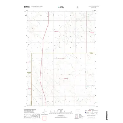
2017 Map of South of Pierre
USGS Topo · Published 2017About this map
Fort Pierre National Grassland dominates the central portion of this landscape at the intersection of Jones, Stanley, and Lyman counties. The terrain is defined by a dendritic drainage network, with the headwaters and winding paths of Antelope Cr and Gray Blanket Cr cutting through the prairie. This 2017 survey illustrates the sparse, grid-based infrastructure of the high plains, where long stretches of unpaved roads like Warcreek Rd and 219th St connect remote sections of the public land system. Significant local transport corridors include Co Hwy 20 and 291st Ave, providing a clear record of the modern rural road network in a region where natural watercourses like Cedar Cr still dictate the rhythm of the landscape.
Find a feature on this map
17 named features on this map. Tap any name to fly to it.
Don’t see what you’re looking for? This feature index may not catch every label — zoom into the map to look around manually.
Map Details
Editions of this 2017 South of Pierre Map
This is the sole edition of this map. No revisions or reprints were ever made.
Other maps of this area

1924 · Pierre
USGS Topo · 1:62,500

1934 · Canning
USGS Topo · 1:48,000

1937 · Canning
USGS Topo · 1:62,500

1953 · Pierre SW
USGS Topo · 1:24,000

1953 · Pierre 3 NW
USGS Topo · 1:24,000

1954 · Pierre
USGS Topo · 1:250,000

1958 · Pierre
USGS Topo · 1:250,000

1967 · Ft. George Butte NW
USGS Topo · 1:24,000

1967 · Ft. George Butte SW
USGS Topo · 1:24,000

1972 · Pierre 3 SW
USGS Topo · 1:24,000