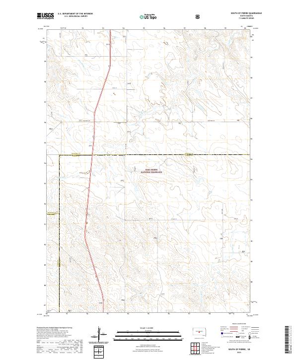
2021 Map of South of Pierre
USGS Topo · Published 2021About this map
The Fort Pierre National Grassland dominates this central South Dakota landscape, where the prairie is defined by drainage patterns and section lines. This area, located south of the state capital, shows a network of creeks that serve as vital water sources in the semi-arid environment, including Antelope Creek and Gray Blanket Creek. The map captures the meeting of three counties—Stanley, Lyman, and Jones—revealing the administrative complexity of managing these public lands. Transportation through the grassland relies on a grid of rural routes such as Warcreek Rd and Co Hwy 20. The surveying of township and range lines, such as t109n r79w, provides a clear view of the Public Land Survey System that organized the Great Plains into manageable parcels for ranching and grazing.
Find a feature on this map
17 named features on this map. Tap any name to fly to it.
Don’t see what you’re looking for? This feature index may not catch every label — zoom into the map to look around manually.
Map Details
Editions of this 2021 South of Pierre Map
This is the sole edition of this map. No revisions or reprints were ever made.
Other maps of this area

1924 · Pierre
USGS Topo · 1:62,500

1934 · Canning
USGS Topo · 1:48,000

1937 · Canning
USGS Topo · 1:62,500

1953 · Pierre SW
USGS Topo · 1:24,000

1953 · Pierre 3 NW
USGS Topo · 1:24,000

1954 · Pierre
USGS Topo · 1:250,000

1958 · Pierre
USGS Topo · 1:250,000

1967 · Ft. George Butte NW
USGS Topo · 1:24,000

1967 · Ft. George Butte SW
USGS Topo · 1:24,000

1972 · Pierre 3 SW
USGS Topo · 1:24,000