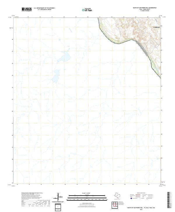
2022 Map of South of San Pedro Hill
USGS Topo · Published 2022About this map
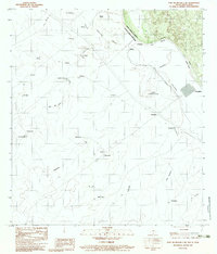
The United States of America Estados Unidos Mexicanos international boundary winds along the path of the Rio Grande in this survey of the South Texas brushland northwest of the urban center. This landscape is defined by the sharp contrast between the arid, dissected uplands and the river corridor that separates Texas from Mexico. Development is concentrated along the northeastern edge of the sheet, where the outskirts of Laredo meet the industrial and transport corridor of Mines Rd. The interior of the map reveals a complex network of ephemeral drainages and ranch tracks typical of the borderlands, offering a detailed view of the terrain before it meets the river's edge. This recent topographic record captures the topographical relief and modern infrastructure of a region critical to trade and international geography.
Find a feature on this map
4 named features on this map. Tap any name to fly to it.
Don’t see what you’re looking for? This feature index may not catch every label — zoom into the map to look around manually.
Map Details
Editions of this 2022 South of San Pedro Hill Map
This is the sole edition of this map. No revisions or reprints were ever made.
Other maps of this area

1923 · Palafox
USGS Topo · 1:62,500

1956 · Las Tiendas
USGS Topo · 1:62,500

1956 · Islitas
USGS Topo · 1:62,500

1956 · Laredo
USGS Topo · 1:250,000

1965 · Cerritos Blancos
USGS Topo · 1:24,000
1965 · Dolores Ranch
USGS Topo · 1:24,000
1983 · San Pedro Hill
USGS Topo · 1:24,000
1983 · Palafox SW
USGS Topo · 1:24,000
1983 · Fort McIntosh 3 NE
USGS Topo · 1:24,000
1985 · Laredo
USGS Topo · 1:100,000