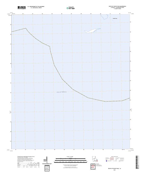
2025 Map of South of South Pass
USGS Topo · Published 2025About this map
Gulf of America waters dominate this maritime survey at the furthest reaches of the Mississippi River delta. The map focuses on the transitional aquatic environment where the river finally meets the sea, specifically highlighting the outlet of South Pass. Because this is an area of shifting sediment and dynamic coastal change, the absence of land features and contours reflects a landscape defined more by hydrography than by terrestrial settlements. The South Pass label marks one of the primary navigational arteries for shipping entering the river system from the open gulf, illustrating the critical geographic point where Louisiana's wetlands dissolve into the maritime expanse.
Find a feature on this map
2 named features on this map. Tap any name to fly to it.
Don’t see what you’re looking for? This feature index may not catch every label — zoom into the map to look around manually.
Map Details
Editions of this 2025 South of South Pass Map
This is the sole edition of this map. No revisions or reprints were ever made.
Other maps of this area

1893 · East Delta
USGS Topo · 1:62,500

1893 · West Delta
USGS Topo · 1:62,500

1935 · Garden Island Pass
USGS Topo · 1:31,680

1935 · South Pass
USGS Topo · 1:31,680

1946 · Mudpan Bayou
USGS Topo · 1:31,680

1947 · Garden Island Pass
USGS Topo · 1:31,680

1947 · Southwest Pass
USGS Topo · 1:31,680

1952 · Southwest Pass
USGS Topo · 1:62,500

1953 · West Delta
USGS Topo · 1:62,500
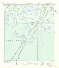
1954 · Southwest Pass
USGS Topo · 1:31,680