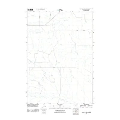
2012 Map of South of Volunteer
USGS Topo · Published 2012About this map
Bear Butte Cr meanders across the northern reaches of this Meade County landscape, defining the drainage patterns of a largely open prairie. The area is characterized by a sparse network of county roads and section-line paths, reflecting the vast ranching and agricultural heritage of the South Dakota plains. In the southern portion of the quadrangle, Alkali Cr flows through the terrain, paralleled in places by Alkali Rd. The transportation network is anchored by several rural thoroughfares, including Co Hwy Mc-7a and Co Hwy Mc-13a, which facilitate movement between scattered homesteads. Named tracks like Hamlet Pl and 202nd St intersect the landscape, highlighting the grid-based land division and the essential connection between these remote locations and the wider region.
Find a feature on this map
11 named features on this map. Tap any name to fly to it.
Don’t see what you’re looking for? This feature index may not catch every label — zoom into the map to look around manually.
Map Details
Editions of this 2012 South of Volunteer Map
This is the sole edition of this map. No revisions or reprints were ever made.
Other maps of this area

1893 · Rapid
USGS Topo · 1:125,000

1898 · Rapid
USGS Topo · 1:125,000

1903 · Rapid
USGS Topo · 1:125,000

1906 · Vale
USGS Topo · 1:62,500

1913 · Newell
USGS Topo · 1:125,000

1951 · Volunteer
USGS Topo · 1:24,000

1951 · Volunteer SE
USGS Topo · 1:24,000

1951 · Vale SE
USGS Topo · 1:24,000

1951 · Vale
USGS Topo · 1:62,500

1953 · Rapid City 1 SW
USGS Topo · 1:24,000